 Aqua Map Bahamas - GPS


Aqua Map Bahamas - GPS
by GEC srl
free
not available
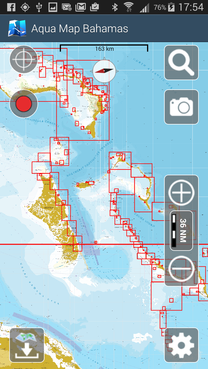
An app to satisfy all your Fishing and Boating's needs, developed with the help of professional fishermen. You will be able to download the best nautical charts and enjoy your new fishing season. Press the RECORD button, put the phone in your pocket and record your fishing trolling track....and much more. ►► Features: • Nautical raster charts from Wavey Line, perfectly represented and automatically selected at each zoom level to offer a seamless coverage for navigation• User friendly interface. • You can download maps (for FREE, no additional purchase is required) on the device, to be used later without any internet connection. • Full coverage of charts of Bahamas received by Wavey Line • Store your track without the need of cellular data or phone signal. • No problem to receive/make phone calls and messages while recording the tracks. • Share tracks, markers and pictures in various formats (KMZ and GPX). • Store an unlimited number of tracks and markers. • Customize your Marker's icon and Track's color. • Measure distances on the map. • Load any track and marker from internet communities (KMZ, KML, GPX also if zipped) • ActiveCaptain community integration
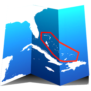
► MAPS Aqua Map lets you download - for FREE!! - the best charts derived from the material received from Wavey Line with their permission; all Nautical Raster Charts, have been prepared to offer a seamless coverage of the area. No additional purchase is required. You can download the maps at home within your device and then use them on the boat without any Internet connection. Check our Nautical charts at: http://www.globalaquamaps.com/AquaMarine.html#Bahamas
► SHARING Why do not sharing your favorite's markers sending an email with your last daily track, with all the pictures you captured to show them to your friends ? With Aqua Map it is just a click.
► LOADING OTHER's TRACKS AND MARKERS Aqua Map can load any KML, KMZ, GPX (also zipped) you can find over the internet or received from your friends. You can load tracks and markers generated from any application (e.g. Google EarthTM, Maps, or other iPhone/iPad apps), obviously including Aqua Map, or any device (e.g. Garmin Etrex, Nuvi, Magellan, etc.).
► ENJOY ActiveCaptain Community Join the community of more than 100.000 boaters who write reviews, update data and provide up to date hazard information on ActiveCaptain View and contribute to the best marinas location database in the world Read and contribute reviews and rating about marinas, shared local boating knowledge, anchorage and hazards
————
Like any GPS, the signal quality can vary very much depending by the amount of visible sky, foliage, weather condition, etc. GPS is not reliable indoor.
The continuous GPS usage, also in background, can drastically reduce the battery life.
For more information please visit our website at: www.globalaquamaps.com or send us an email at: [email protected]